Tidal Bridge Replacement, Deer Ilse, ME

Tidal Bridge Replacement, Deer Ilse, ME

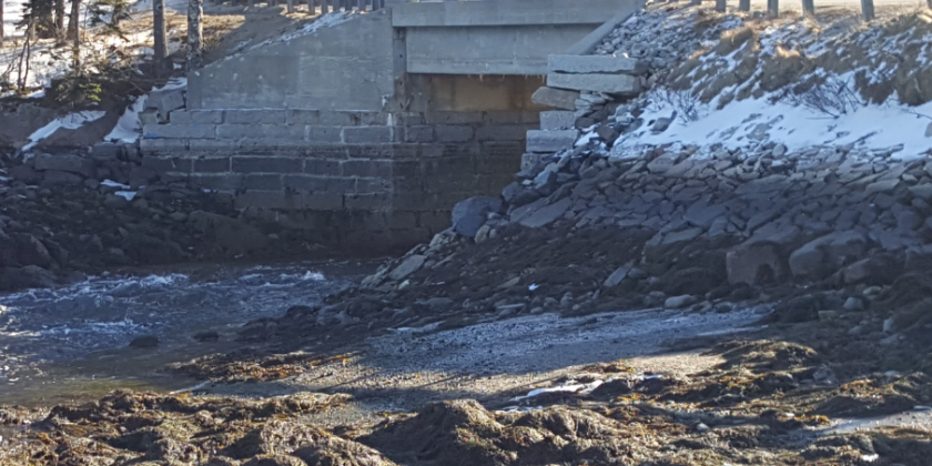
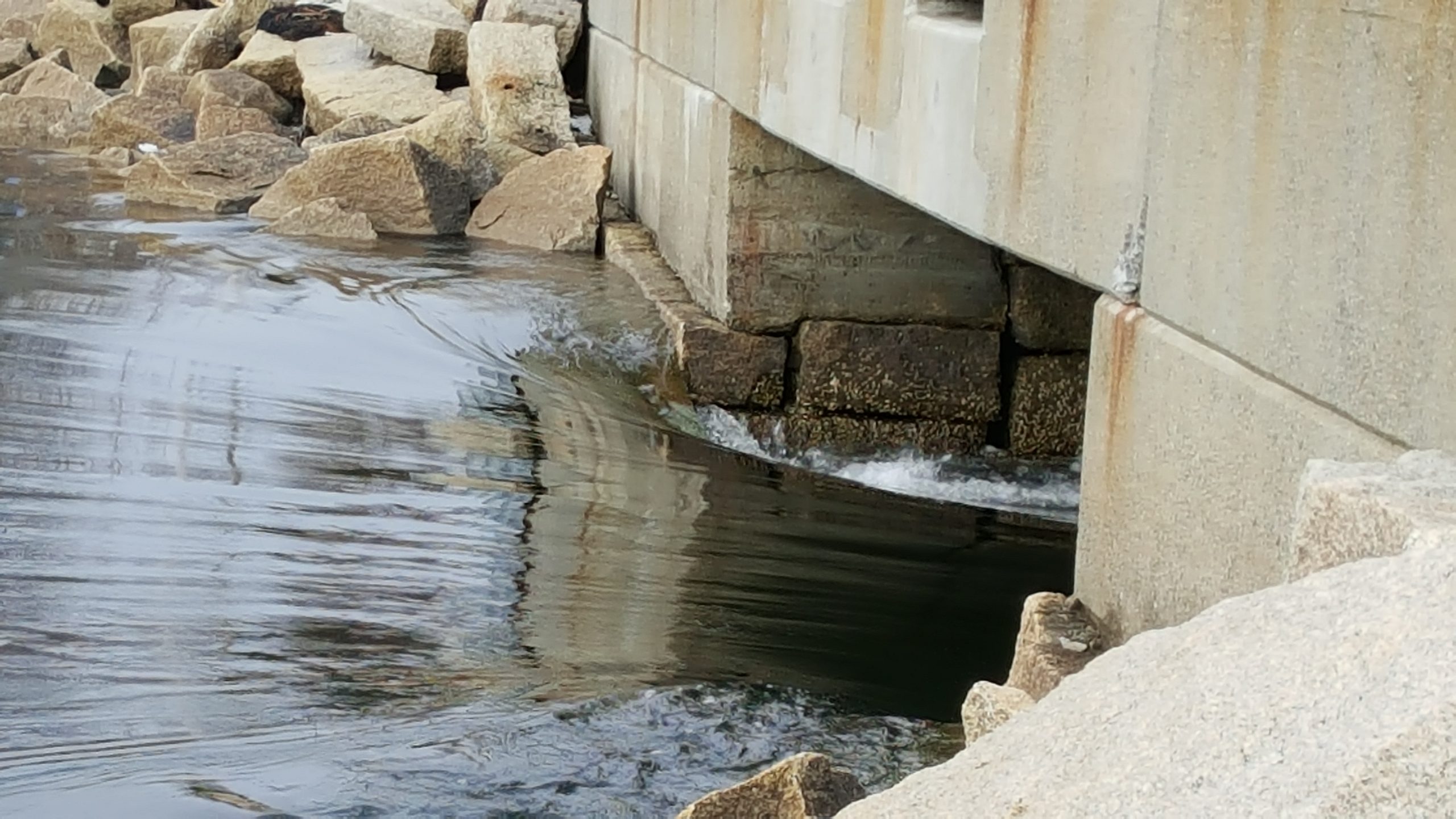
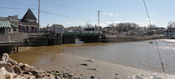
Northstar provided hydrologic, hydraulic and scour analysis for a replacement bridge at Mill Pond in Deer Isle Stonington.  The bridge is affected by tidal flow and runoff to Mill Pond.  Daily tides, storm tides and upland runoff all affect water levels and flow dynamics at the bridge.   Channel bed at bridge is higher than lowest tide levels creating a lag in tidal inflow and an elevation difference.  Deer Isle Tidal Bridge to be Replaced Bed grade at bridge causes a tidal inflow lag and an elevation difference at low tide.
Read More
Tidal Culvert Analysis, George Wright Road, Woolwich, ME

Tidal Culvert Analysis, George Wright Road, Woolwich, ME

Northstar assisted Calderwood Engineering in their work for the Town of Woolwich to evaluate options for improvements to the culvert that conveys tidal and upland flow under George Wright Road in Woolwich. Tide levels on the downstream end of the site are subject to the complex hydraulics of the Kennebec River/Sassanoa River/Sheepscot River tidal system with islands, inlets, side channels and other features that create complex tidal/upland flow interactions in this area. Tide hydrographs from this river complex were routed through George Stevens Road and Route 1 to assess potential impacts of changing culverts in George Stevens Road. Model HECRAS 1-D…
Read More
Thompson’s Bridge Replacement over Decker Cove, Southport, ME

Thompson’s Bridge Replacement over Decker Cove, Southport, ME

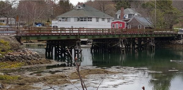
Northstar Hydro, Inc. provided hydrologic, hydraulic and scour analysis to Maine DOT’s contractor for preliminary design for proposed replacement of the four span Thompson’s Bridge over Decker’s Cove. The project included unsteady flow modeling with model HECRAS and field monitoring to provide data on water elevations, velocities, and rate of flow through the bridge under a variety of storm and daily tide conditions. The bridge is shown in the first photo and the digital terrain model for the hydraulic model is shown in the second photo.
Read More
Benjamin River Bridge between the Towns of Brooklin and Sedgwick, Maine.

Benjamin River Bridge between the Towns of Brooklin and Sedgwick, Maine.

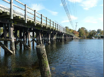
Tidal Bridge Replacement Project Northstar Hydro worked with Kleinfelder and Maine DOT to provide hydrologic, hydraulic and scour engineering services related to replacement of the Benjamin River Bridge.  Preliminary design identified key project issues including storm tide elevations, tidal cycling through the bridge, combination of tidal and upland flows and ongoing scour.  The scour critical bridge was modeled using a GIS based dynamic HECRAS hydraulic model to simulate normal and storm tide conditions as well as upland flooding.  Field data of tide elevation and flow velocity was also collected to provide calibration data for the hydraulic model.
Read More
Route 9 Bridge Kennebunk, ME

Route 9 Bridge Kennebunk, ME

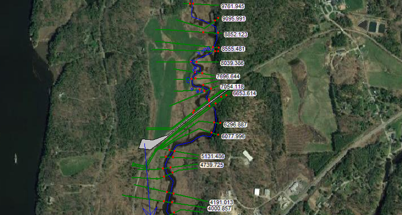
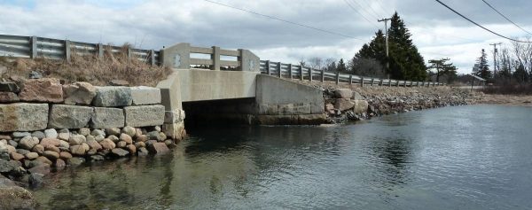
Northstar Hydro, Inc. provided hydrologic, hydraulic and scour analysis to Maine DOT’s contractor for preliminary and final design for proposed replacement of the Route 9 bridge between Kennebunk and Kennebunkport.  Unsteady flow modeling with model HECRAS and field monitoring provided data on water elevations, velocities, and rate of flow through the bridge under a variety of storm and daily tide conditions. The model helped to determine whether the bridge impacted upstream water levels and provided scour related variables. The site is shown in the photo below and the tidal river is shown in the air photo.
Read More
Bike Path Bridges, Barrington/Warren, RI

Bike Path Bridges, Barrington/Warren, RI

Northstar Hydro, Inc. provided preliminary design hydrologic, hydraulic and scour assessments for RIDOT’s contractor for two bridges in Rhode Island that will be replaced and carry a high use bike/pedestrian path over the Barrington and Palmer Rivers in Barrington and Warren Rhode Island.  Services included contracting for detailed velocity profiling near each bridge through a tide cycle, unsteady flow modeling of both sites and computation of storm and daily tide heights and flow velocities. The bridge locations are shown on the air photo below.  Greater Narragansett Bay is south of the project locations. The second photo is the Barrington River…
Read More
Bass Harbor Bridge, Tremont, ME

Bass Harbor Bridge, Tremont, ME

Tidal Northstar Hydro, Inc. provided design services related to hydrologic and hydraulic modeling to VHB, Maine DOT’s contractor, for preliminary design of a replacement bridge at Bass Harbor in Tremont, Maine.  Critical issues at the site include restricted flow that influences tidal water levels inland of the bridge and rapid flow through the bridge.  Upstream of the bridge is Bass Harbor Marsh, much of which is within Acadia National Park.  Hydraulic modeling was designed to provide understanding of flow rate and tidal prism in the Bass Harbor Marsh and to understand the impact of the existing and proposed bridges on…
Read More
Oceanville Bridge, Stonington, ME

Oceanville Bridge, Stonington, ME

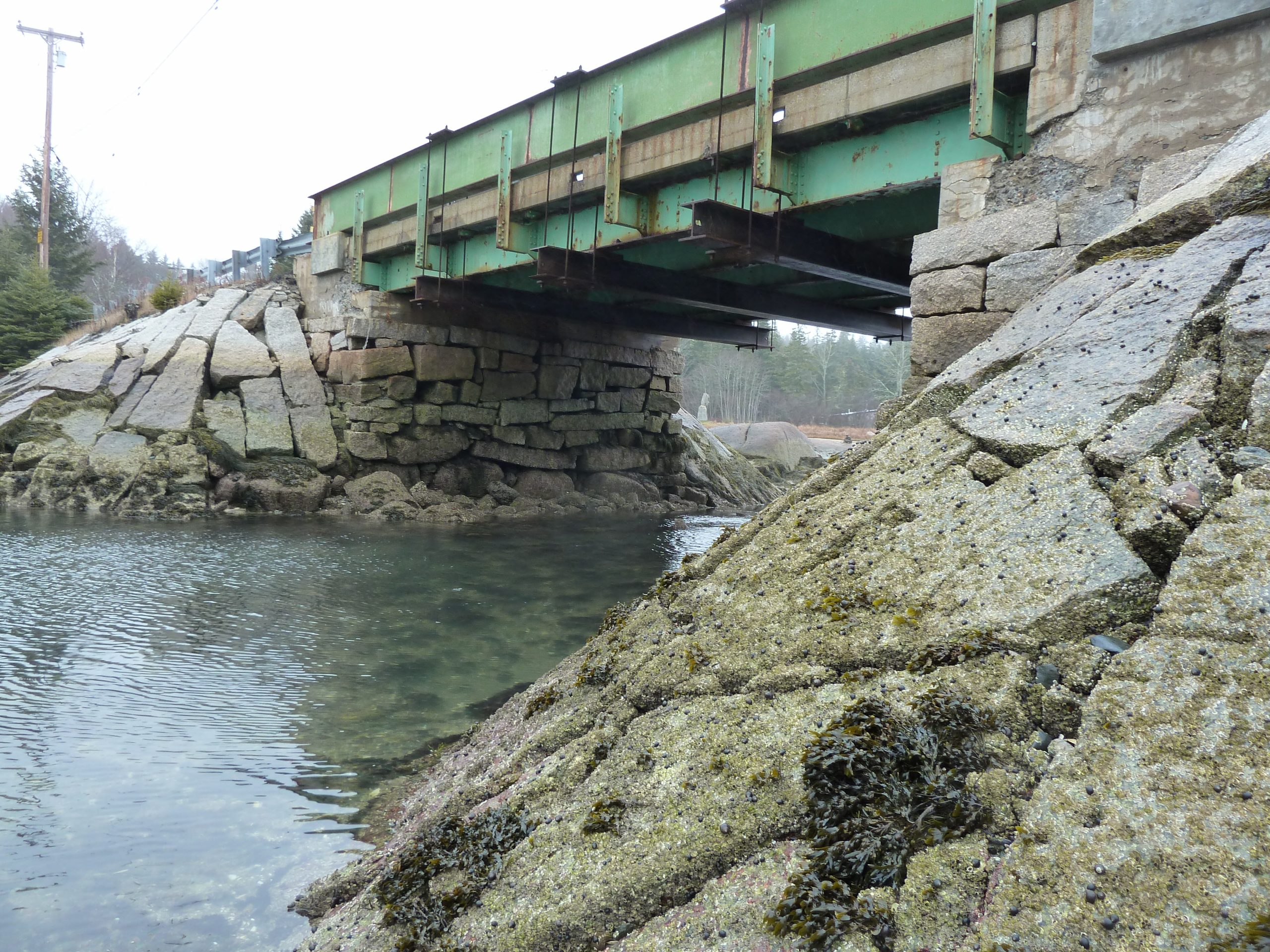
Tidal causeway and bridge connecting islands Northstar Hydro, Inc. provided hydrologic, hydraulic and scour analysis to Maine DOT’s contractor for preliminary design for the Oceanville Bridge replacement in Stonington, Maine.  This bridge connects two islands and allows tidal interchange in the channel that divides the two islands.  Flow is complex and analysis included modeling, on-site monitoring and data review to determine how flow tides interact with the existing and proposed bridges.  The first photo shows the site location and the second photo shows the existing bridge.
Read More