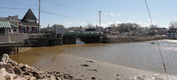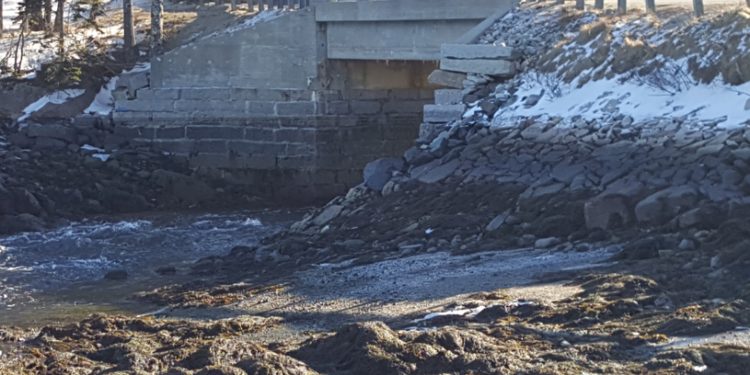
Tidal Bridge Replacement, Deer Ilse, ME
Northstar provided hydrologic, hydraulic and scour analysis for a replacement bridge at Mill Pond in Deer Isle Stonington. The bridge is affected by tidal flow and runoff to Mill Pond. Daily tides, storm tides and upland runoff all affect water levels and flow dynamics at the bridge. Channel bed at bridge is higher than lowest tide levels creating a lag in tidal inflow and an elevation difference. Deer Isle Tidal Bridge to be Replaced Bed grade at bridge causes a tidal inflow lag and an elevation difference at low tide.