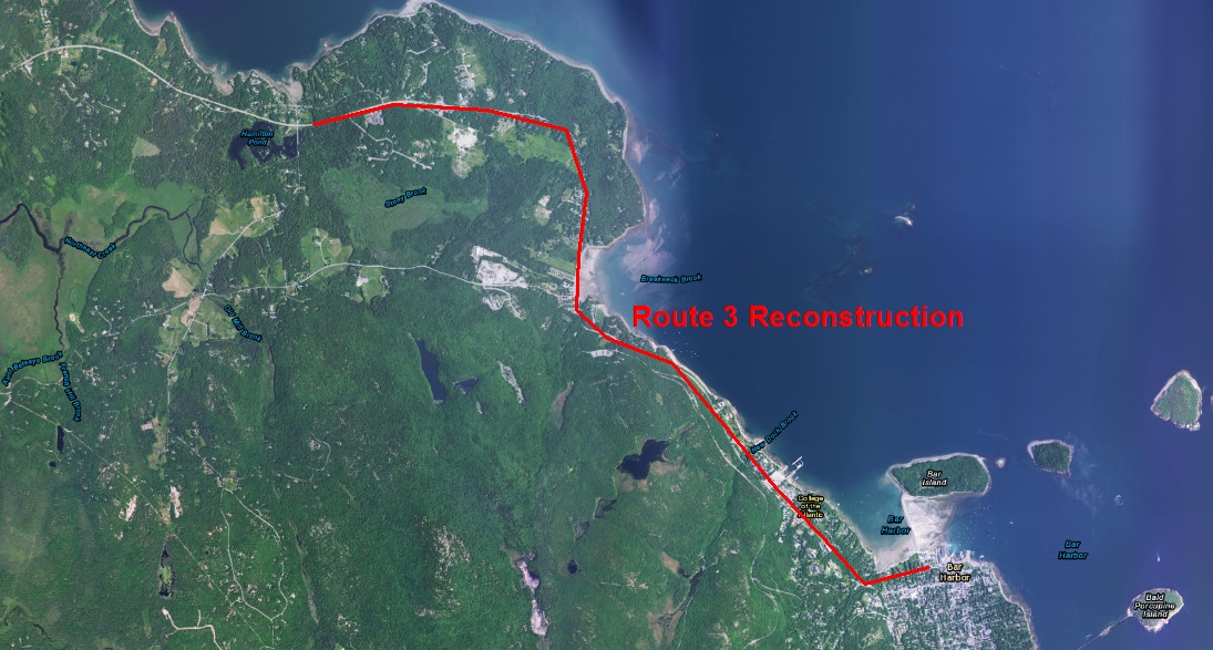
Highway Drainage and Large Culvert Design, 5 miles of Route 3 in Bar Harbor, Maine
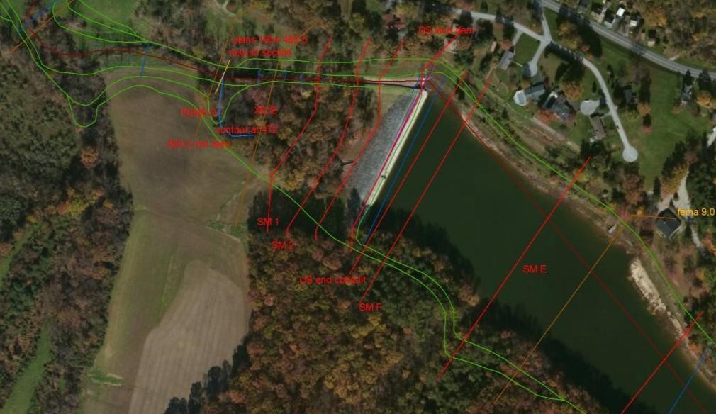
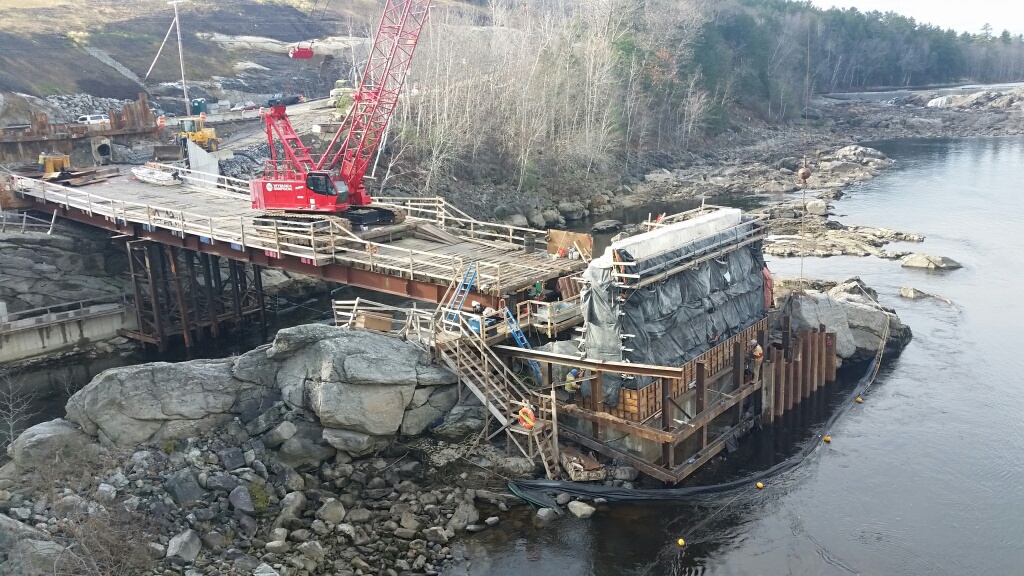
Northstar worked with HNTB for the Maine DOT to provide drainage design and large culvert hydrologic and hydraulic design for over 5 miles of reconstructed Route 3 north of Bar Harbor, Maine on Mount Desert Island. The project included a number of large culverts, some with fish passage improvements as well as several miles of closed system drainage. Project challenges included high rates of runoff to closed drainage systems due to shallow bedrock, steep slopes and limited shoulder widths to closed systems, semi-urban developed areas, historic buildings, and aesthetic design. Northstar combined GIS tools with project data to provide efficient…